


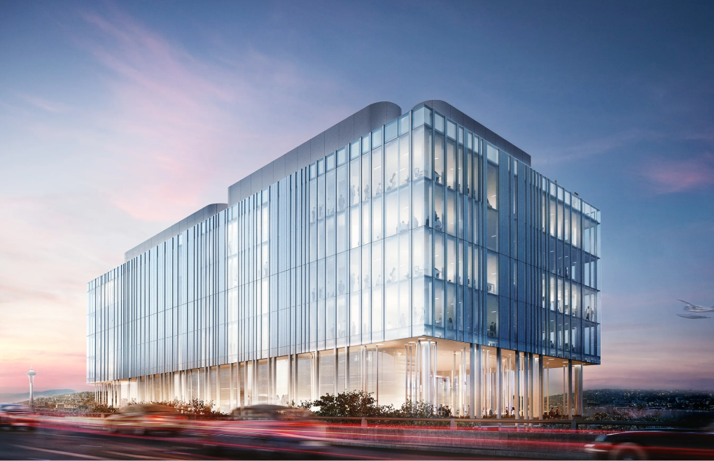
After moving into its new Frank Gehry-designed headquarters in 2015, our client continued their expansion westward across a complex and congested site. Thus, they decided to construct the campus of tomorrow to manage their platform capabilities and better connect to their data centers around the globe. Apart from abating and demolishing five existing buildings and a public park, the project also involved some offsite work.
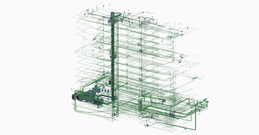
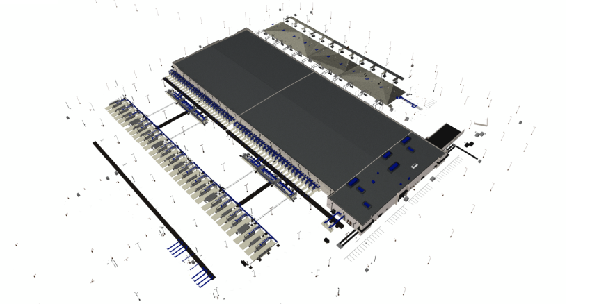
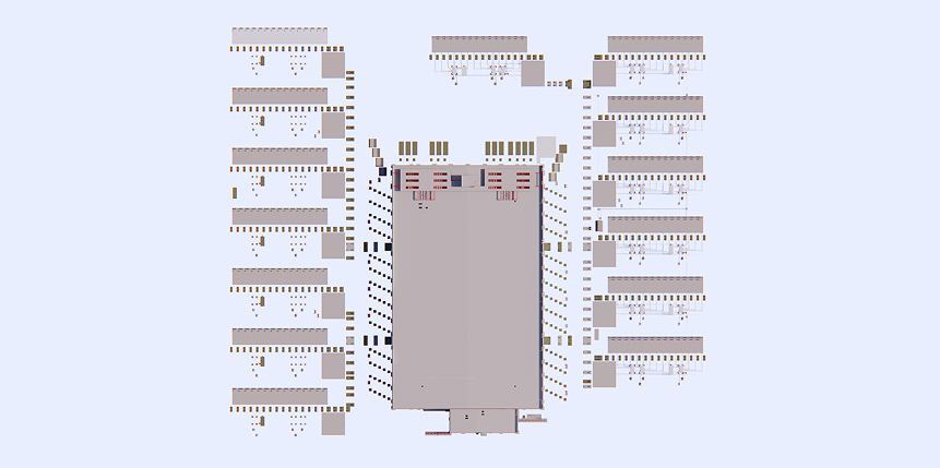
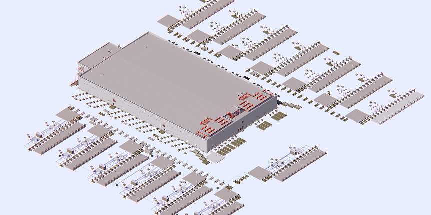
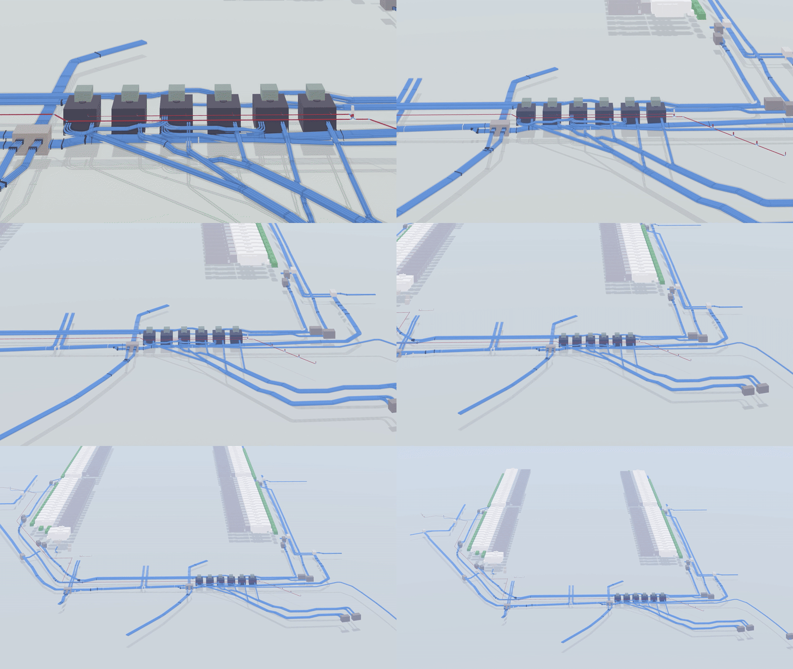
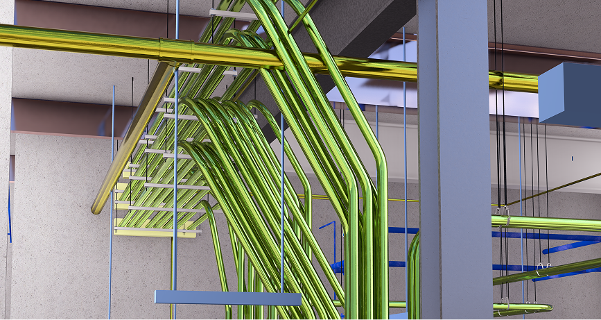
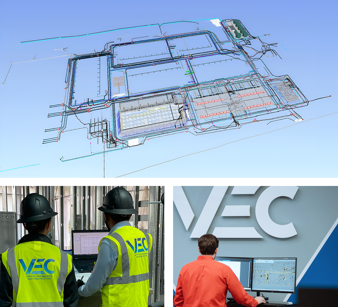
The new 457, 000 sq. ft. facility for our confidential customer features a 4-story office building and 235, 378 sq. ft. 8-story parking with one underground level, including design-build MEP systems. It also includes collaborative office space, conference halls, and cafes. The open space enabled architects to create different floor plans weaved throughout the building. When working on this campus project, the most significant task for VEC experts was to create robust 3D system models considering all site specifics and keeping the project’s square footage in mind.


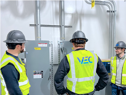
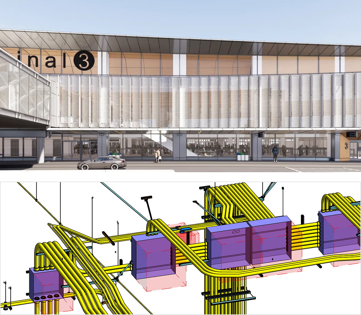
VEC tech specialists assisted in building the client’s campus from 2019–2020. Our experienced team provided high-quality mechanical and electrical VDC services, including 3D power and lighting system modeling. As a reliable BIM partner, VEC cooperated closely with mechanical and electrical contractors to help them deliver the project on time and within budget.
By creating a detailed BIM Execution Plan, we made it possible to reduce clashes and eliminate conflicts between the various trades involved. They utilized our 3D models for analysis and prefabrication, which was critical to reduce project costs. Ultimately, our BIM and VDC services streamlined the project appropriately, allowing stakeholders to avoid different factors that typically affect productivity.



















%203.png)


"It's amazing how fast and how much the bluff has receded over the last year. To capture and analyze this data opens my eyes to what this technology can be used for."


"It was a pleasure working alongside AECOM to analyze the corrosion of the bluff using Laser scanning Technology and Drone Photogrammetry. The data we captured is essential as it will provide insight into the stability and safety of the bluff."