


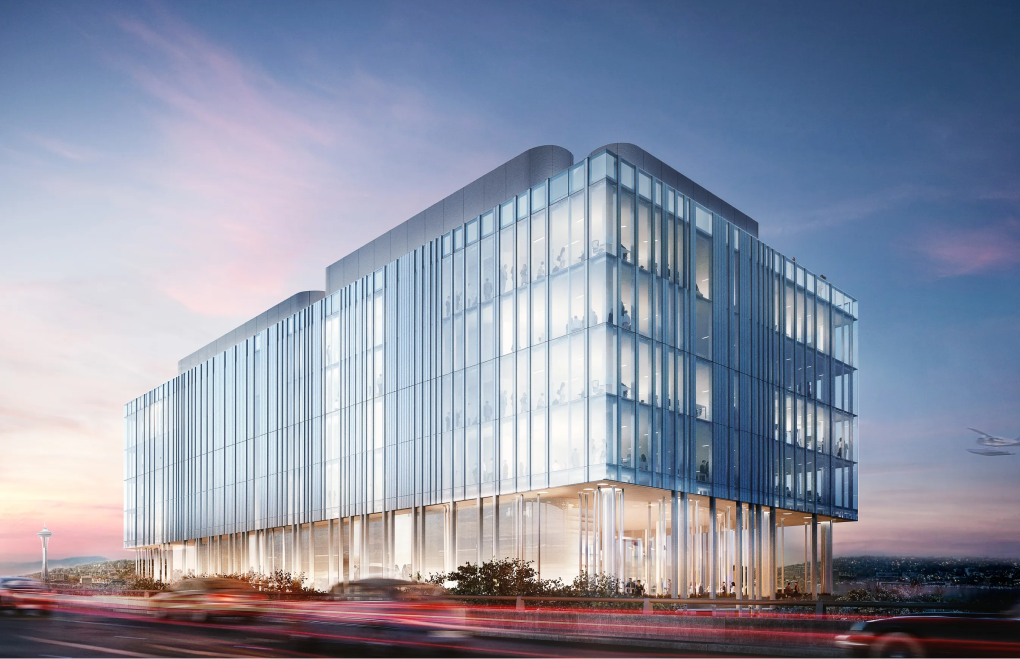
The 261-room luxury Ritz-Carlton Resort in Half Moon Bay, CA, was constructed in 2001 on a cliff along the rocky coastline. Since then, the hotel has won many hospitality awards, making it a popular destination for local and international tourists. This unique oceanfront property features the main hotel lodge containing 209 rooms, three guest houses with 52 rooms, food and beverage spaces, a spa, and two golf courses. The resort’s design allows guests to feel immersed in the outdoor beauty and offers a fantastic customer experience.
The Ritz-Carlton Half Moon Bay monitors the coastal bluff upon which the hotel sits, keeping tabs on environmental soil erosion that might pose a future safety risk for guests or the structure itself. Thus, the main challenge for VEC tech specialists was correctly assessing the current situation and defining the potential issues and risks for the hotel’s building. We collaborated effectively with the client and delivered the project successfully within time and budget frames.


VEC experts worked on the Ritz-Carlton Half Moon Bay project in 2021. As an experienced BIM & VDC partner, we provided exemplary onsite quality control service for the 70,000 square foot area.
Using high-definition 3D laser scans, VEC collected images of the cliff face, the Ritz-Carlton building, and the multi-column support structure embedded within the terrain. These scans were then translated into detailed, 2D As-Built Line Drawings, which are compared against datasets collected in previous years, revealing any signs of erosion or geological activity.
With 3D laser scanning, the VEC Team could ensure accurate and precise capturing of space conditions and ensure no destruction occurred to the facility and its territory. Since we correctly understood the captured data’s goal, we were able to satisfy all project requirements.




















%203.png)


"It's amazing how fast and how much the bluff has receded over the last year. To capture and analyze this data opens my eyes to what this technology can be used for."


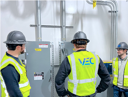
"It was a pleasure working alongside AECOM to analyze the corrosion of the bluff using Laser scanning Technology and Drone Photogrammetry. The data we captured is essential as it will provide insight into the stability and safety of the bluff."